Geologic Hazard Assessments
Engineering Geology · Geologic Hazard Assessments
Geologic hazard assessments for your building permit
If your property lies within a mapped geologically hazardous area, your jurisdiction’s critical-areas rules may require a geologic hazard assessment before you can build. We prepare that assessment — grounded in field geology, published USGS and soil-survey data, and precise mapping — and, where the evidence supports it, show that no separate geotechnical report is needed. Every report is stamped by a licensed engineering geologist.
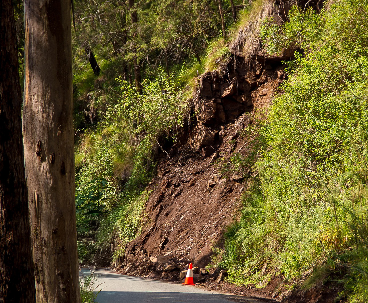 Landslide hazard area
Why you’re here
Building in a mapped hazard area? Your jurisdiction needs a geologist’s assessment.
Many jurisdictions regulate development on ground prone to landslides, erosion, seismic effects, alluvial-fan flooding and steep-slope failure through geologically hazardous and critical-areas provisions.
When a parcel falls within a mapped hazard area, the local permitting authority typically requires a geologic hazard assessment — prepared by a qualified professional — as part of permit review. The report characterizes the hazard, evaluates risk to the proposed development, and recommends the measures needed to build safely.
What we assess
Geologic hazards we evaluate
Each assessment is scoped to the hazards mapped on your site and written to meet your jurisdiction’s permit requirements.
Landslide Hazard Areas
Slope stability evaluation for parcels on or below unstable ground, with recommendations to reduce landslide risk.
Learn more
Erosion Hazard Areas
Assessment of surface-erosion potential and the drainage and site measures needed to keep soil and structures stable.
Learn more
Seismic Hazard Areas
Evaluation of ground-shaking, liquefaction and fault-related hazards affecting foundations and site design.
Learn more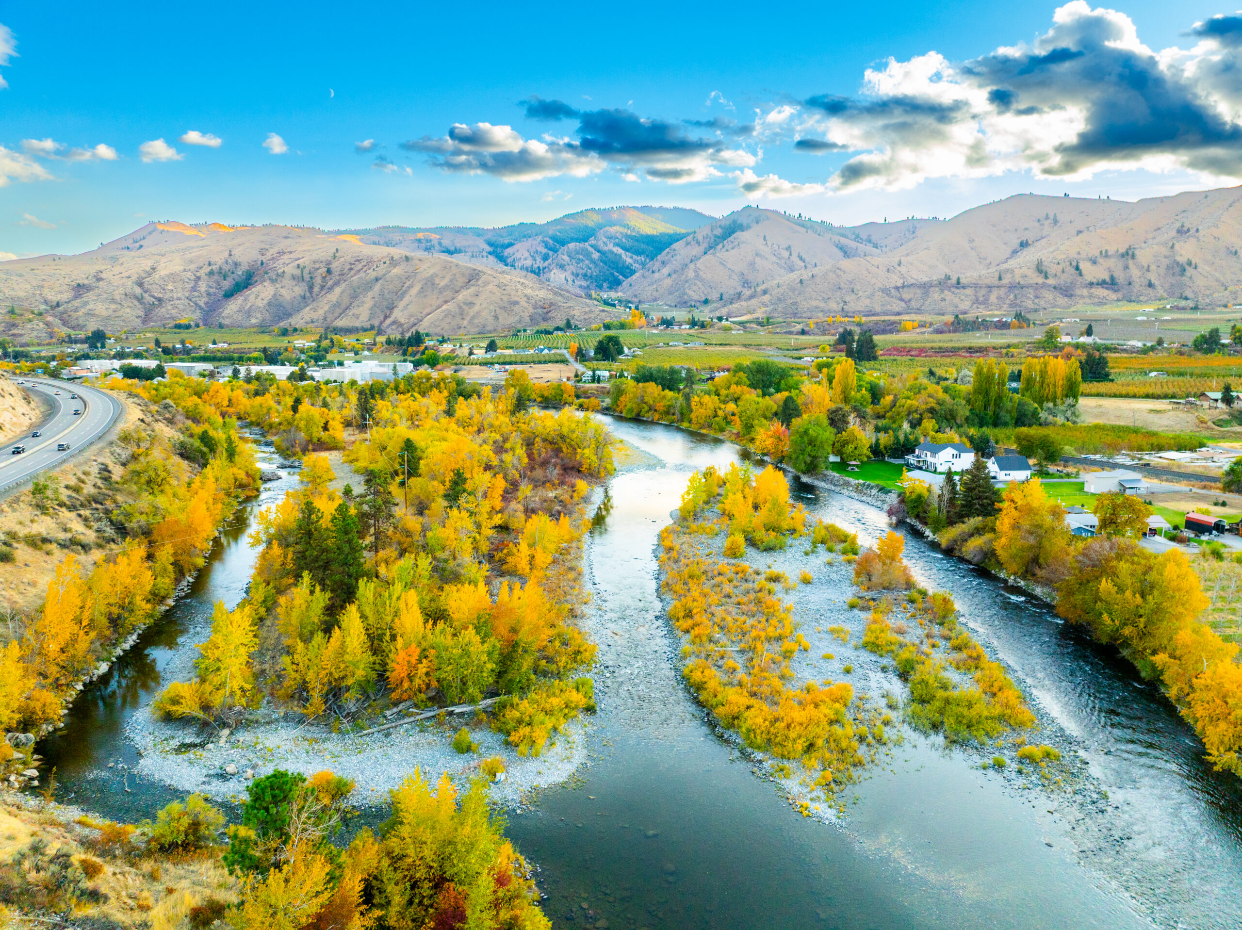
Floodplains
Evaluation of floodplain and inundation hazards for building sites on or near rivers, streams and low-lying ground.
Learn more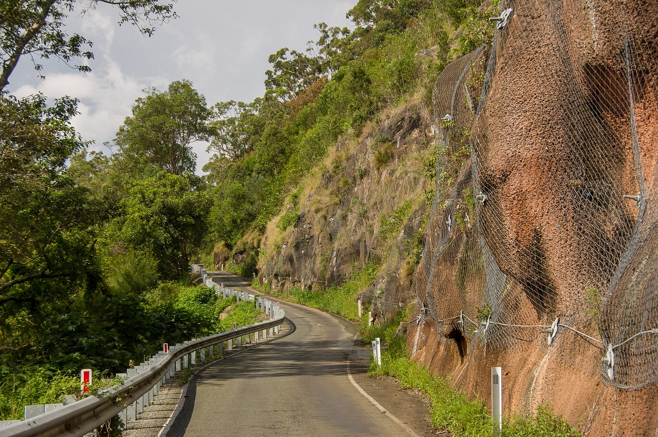
Steep Slope & Rockfall
Rockfall source and runout evaluation for building sites below cliffs, road cuts and steep terrain.
Learn more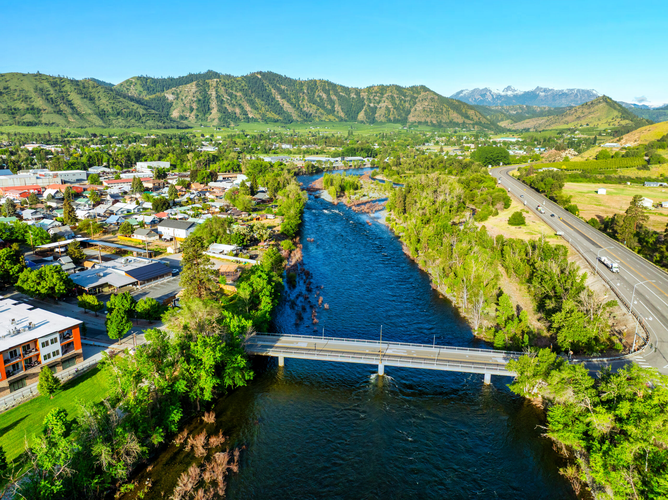
Hazard Mapping & Determination
We confirm whether your parcel sits within a mapped hazard area and map the hazard boundaries precisely.
Learn more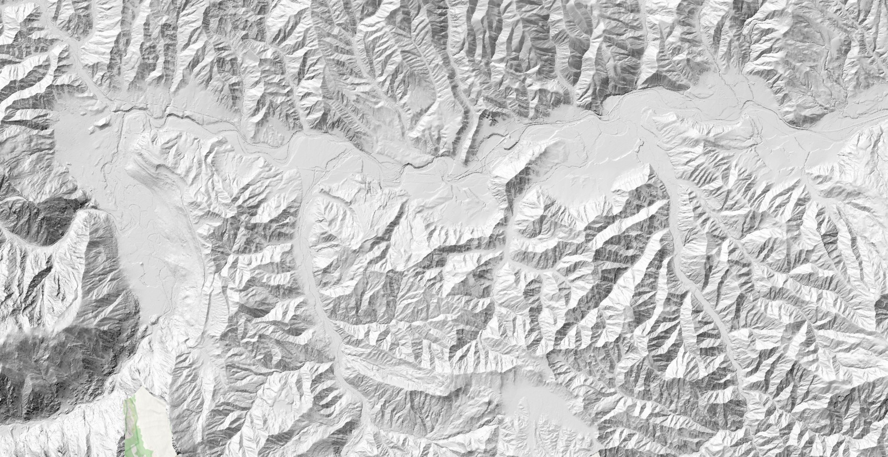 Digital terrain & slope analysis
Precision hazard mapping
Every assessment is backed by mapping solutions.
We build each project’s geology into detailed maps, turning published USGS geologic mapping, county critical-areas and soil-survey data, LiDAR-derived terrain and field observations into clear, defensible figures that show exactly where hazards lie relative to your proposed building envelope.
- Parcel screening against available hazard and critical-areas mapping
- LiDAR-derived slope, aspect and landslide-terrain analysis
- Hazard-boundary delineation around the building footprint
- Clear map figures included in the assessment report
- Deliverables your permit reviewer can readily verify
How it works
From parcel check to permit
A straightforward path from “do I need this?” to an assessment your permit reviewer can approve.
Parcel & hazard screening
We check your parcel against published hazard, geologic and soil mapping to confirm whether a geologic hazard assessment — and any further geotechnical study — is required for your permit.
Site reconnaissance
A field visit documents geology, slopes and drainage, ground-truthing the desktop mapping.
Assessment & report
We characterize each mapped hazard, define the buildable envelope, and give foundation, drainage and mitigation recommendations — often concluding that no separate geotechnical report is needed — in a stamped report written to your jurisdiction’s criteria.
Permit support
Submit the stamped report with your building permit; we respond to permit review comments.
Who prepares your report
A licensed engineering geologist with two decades in the field.
Geologic hazard assessments must be prepared by a qualified professional. Your report is completed and stamped by an engineering geologist licensed across the Pacific Northwest — and focused on the geology of eastern Washington.
Discuss your project- PNW
Licensed Engineering Geologist — WA, OR & CA
Authorized to perform and stamp engineering-geology work, including geologic hazard assessments for permitting, in Washington, Oregon and California.
- 20+
Over 20 years as a professional geologist
Two decades of geologic fieldwork, mapping and hazard evaluation, including work with Central Washington University’s Geological Sciences Department.
- E‑WA
Focused on eastern Washington
A regional practice rooted in the geology and permitting landscape of central and eastern Washington.
Common situations
When you’ll likely need an assessment
Building on a slope
New homes or additions on or above steep or potentially unstable ground within a mapped hazard area.
Near a stream or fan
Sites on alluvial fans or close to drainages where debris flow and erosion are mapped hazards.
Flagged by the permit office
Your permit application was returned with a request for a geologic hazard or critical-areas report.
Get started
Send us your parcel — we’ll tell you what’s required.
Share your address or parcel number and a few words about what you’re building. You’ll hear back from the geologist who will actually prepare your assessment.