Hazard Mapping
Our core capability · Hazard Mapping
Hazard mapping
Every assessment we deliver is built on a map. We turn terrain data, published hazard layers and field observations into clear, defensible figures that show exactly where hazards lie relative to your building envelope.
 Terrain, translated into hazard maps
Why it matters
The map is the argument.
A geologic hazard assessment lives or dies on whether a reviewer can see — clearly — where the hazard is and where your project sits relative to it.
We build each project’s geology into precise mapping solutions: parcel screening against county critical-areas layers, published USGS geologic mapping and soil-survey data, LiDAR-derived terrain analysis, and hazard boundaries drawn tight to the building footprint. The result is the figures a permit reviewer needs — a location map, a building-envelope and slope map, and hazard boundaries that make the findings obvious and easy to approve.
Capabilities
What we map
From a first parcel check to the final report figures, mapping runs through every stage of the work.
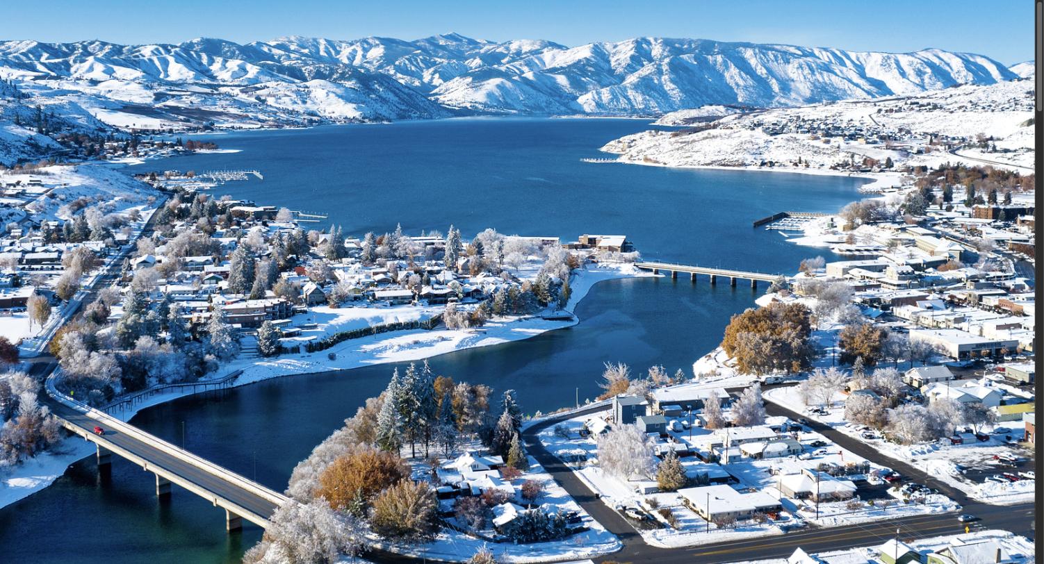
Parcel & critical-areas screening
We check your parcel against county geologic-hazard and critical-areas layers to confirm whether an assessment is required.
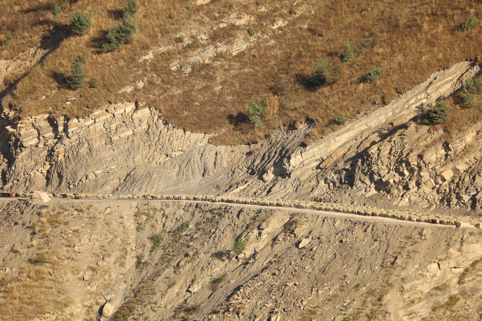
Terrain analysis
Slope, aspect, hillshade and curvature from high-resolution elevation data reveal the shape of the ground in detail.

Landslide-terrain mapping
We identify scarps, deposits and unstable landforms that signal past and potential slope failure.
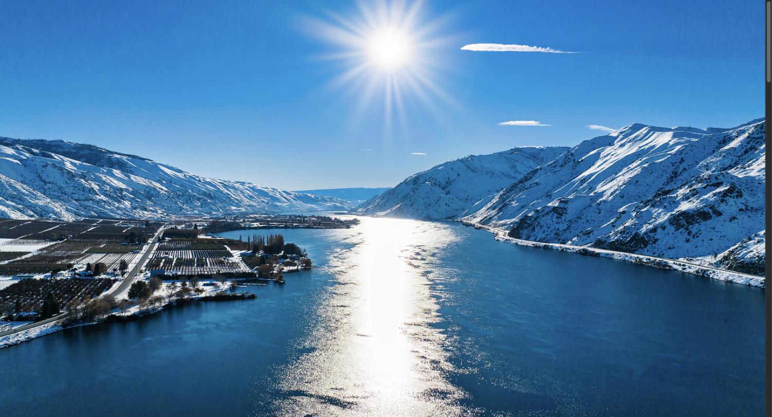
Hazard-boundary delineation
We draw hazard limits tight to your building envelope, so setbacks and impacts are based on real geometry.
Change detection
Comparing data across dates highlights movement, erosion and deposition that a single snapshot would miss.
Report figures & web maps
Clean, labeled map figures for the assessment report — and shareable web maps when a project calls for them.
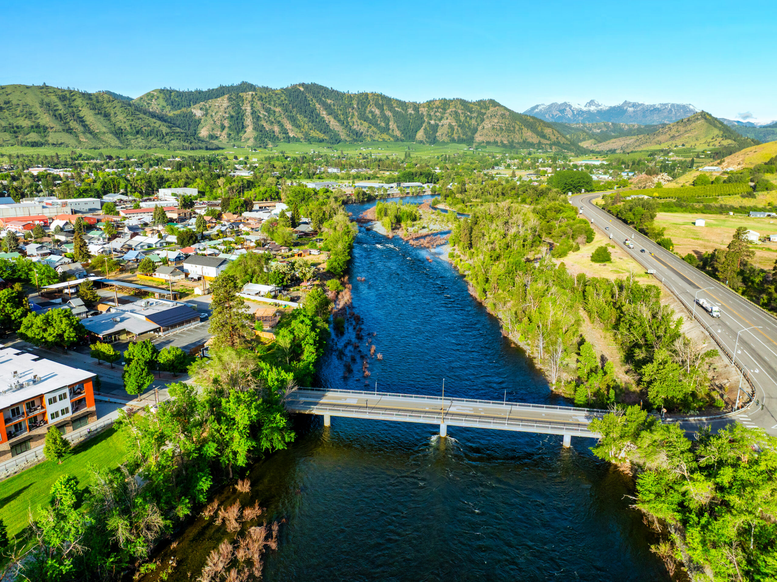 Clear maps, easier approvals
The payoff
Good maps make everything easier.
Precise, transparent mapping isn’t a nicety — it’s what turns a geologic opinion into something your reviewer and design team can act on.
- Defensible: built from public data your reviewer can independently verify
- Precise: hazard limits drawn to the building footprint, not broad-brush
- Clear: one picture your whole team reads the same way
- Efficient: early screening avoids surprises late in permitting
- Consistent: the same rigorous workflow on every project
How it works
From parcel to finished figures
A repeatable workflow that keeps the mapping accurate, transparent and easy to review.
Screen the parcel
We locate your site and check it against available county hazard and critical-areas mapping.
Build the base
We assemble LiDAR, geology and hazard layers into a single project map.
Analyze the terrain
We derive slope and landform products and interpret the hazards present.
Deliver the maps
Clear figures for the report — and web maps where they help.
Start with a map
Not sure if your parcel is affected?
Send us your address or parcel number. We’ll screen it against available hazard mapping and tell you whether an assessment is required — usually at no charge.