Erosion
Geologic Hazards · Erosion
Erosion
Erosion is the slow, persistent removal of soil and rock by water, wind and gravity. Left unmanaged, it undermines foundations, eats into property, and feeds landslides and flooding.
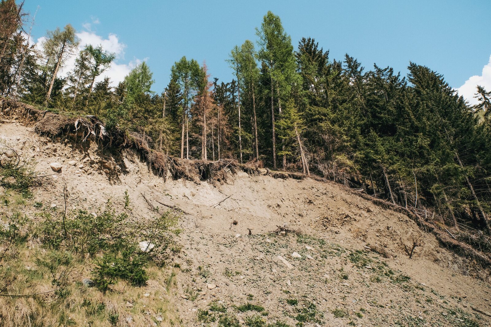 Soil stripped from a slope, roots undercut
Why it matters
A slow hazard with expensive consequences.
Because erosion works gradually, it’s easy to ignore — until a foundation is exposed, a bank collapses, or a slope gives way.
Beyond the ground it removes, erosion undermines structures and infrastructure, clouds streams with sediment, and is often the first stage of a larger slope failure. Jurisdictions map the most vulnerable ground as erosion hazard areas and require a qualified evaluation before development on or near it.
The forms it takes
Types of erosion
Erosion is grouped by the force at work and where it happens — from thin sheets washing off a field to whole banks and bluffs retreating.
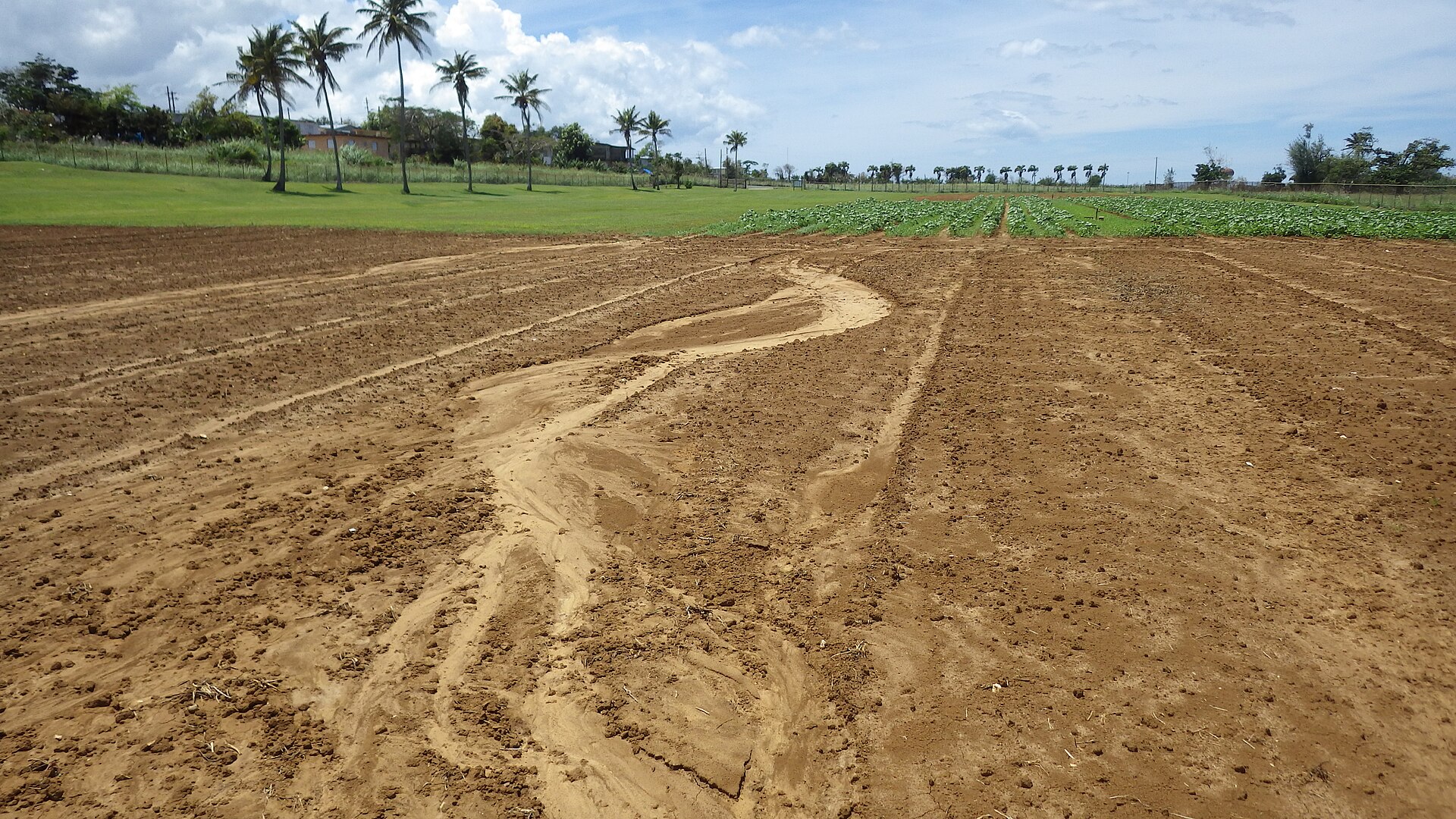
Sheet erosion
A thin, even layer of soil is lifted and carried off a slope by rainfall and shallow runoff — subtle, but it strips the most productive soil first.
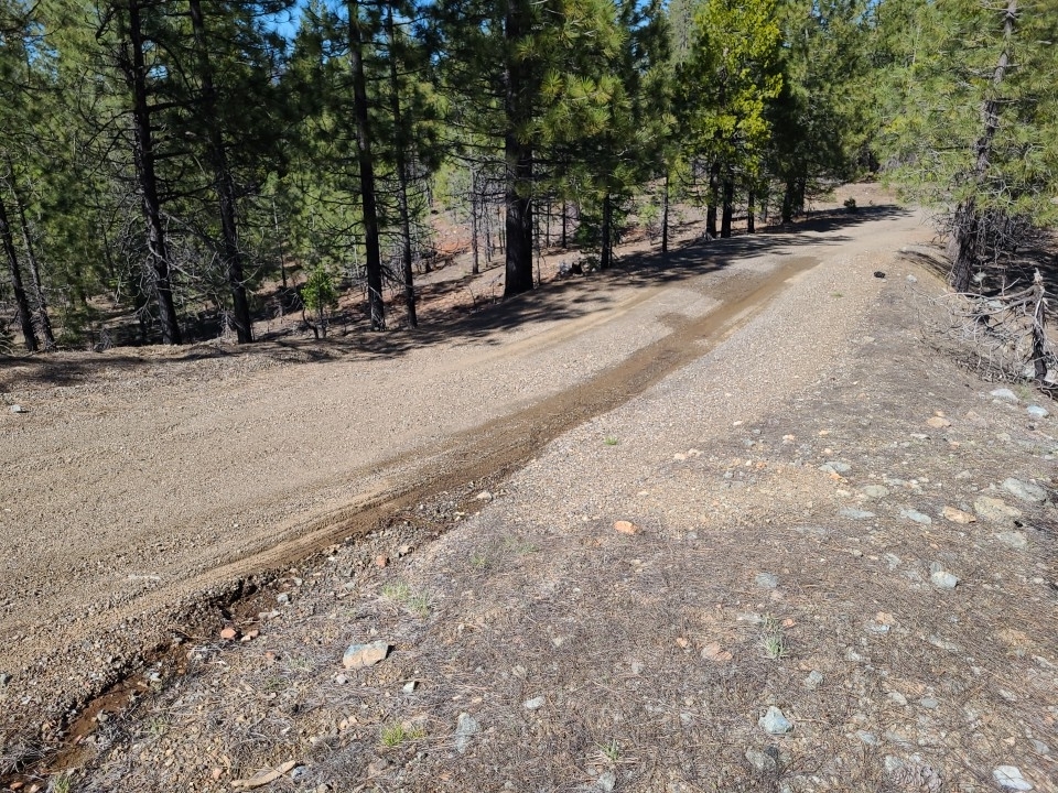
Rill erosion
Runoff gathers into small channels that cut shallow, finger-like grooves down a slope — the stage between sheet wash and gullies.
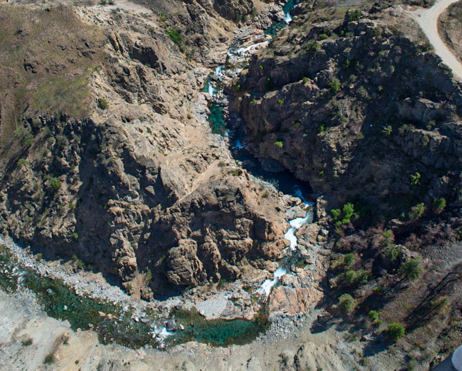
Gully erosion
Concentrated flow carves deep, steep-walled channels that are hard to reverse and can undermine roads, fields and structures.
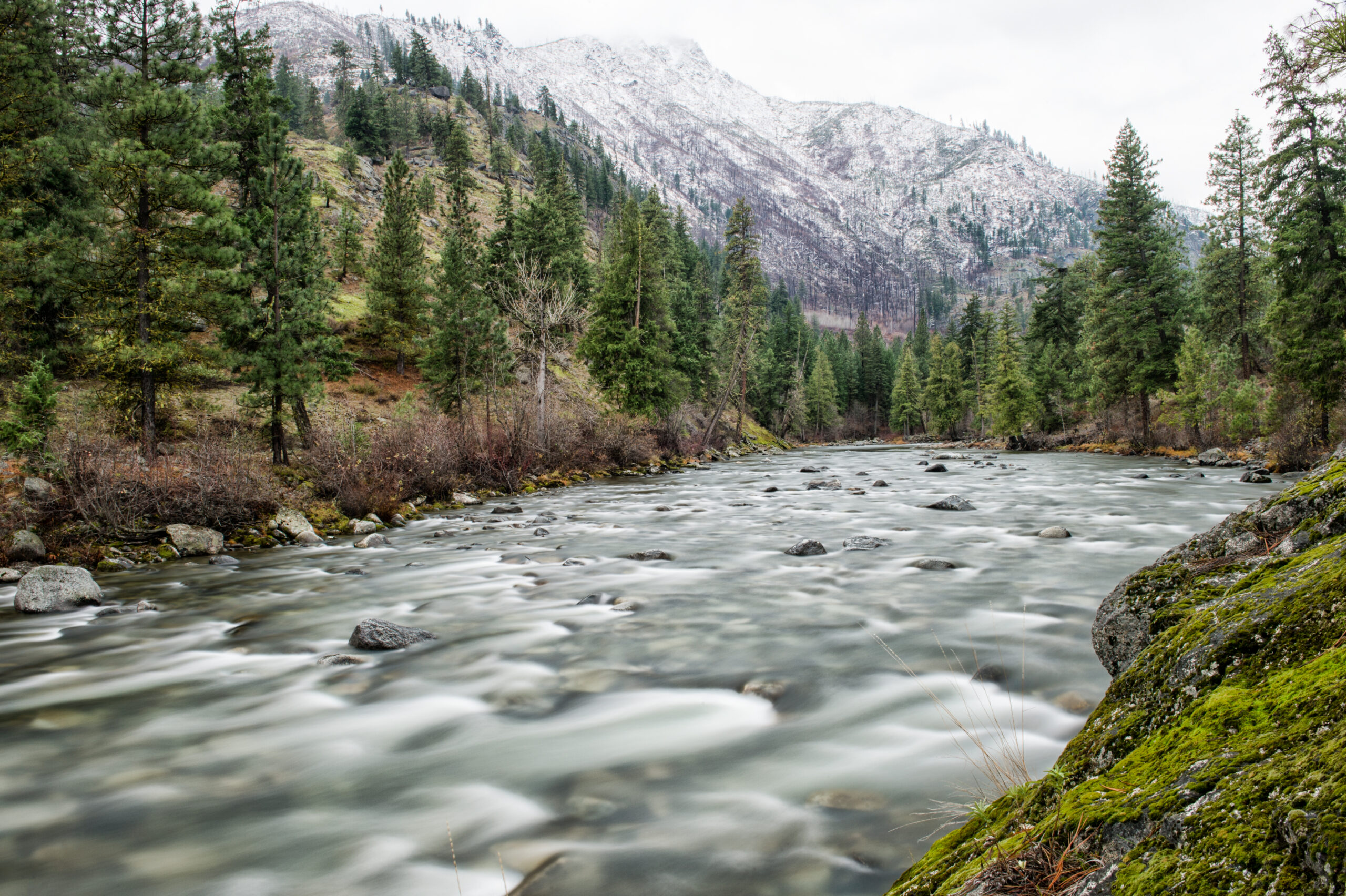
Streambank erosion
Moving water undercuts and collapses banks, migrating channels and threatening bridges, utilities and riverside property.
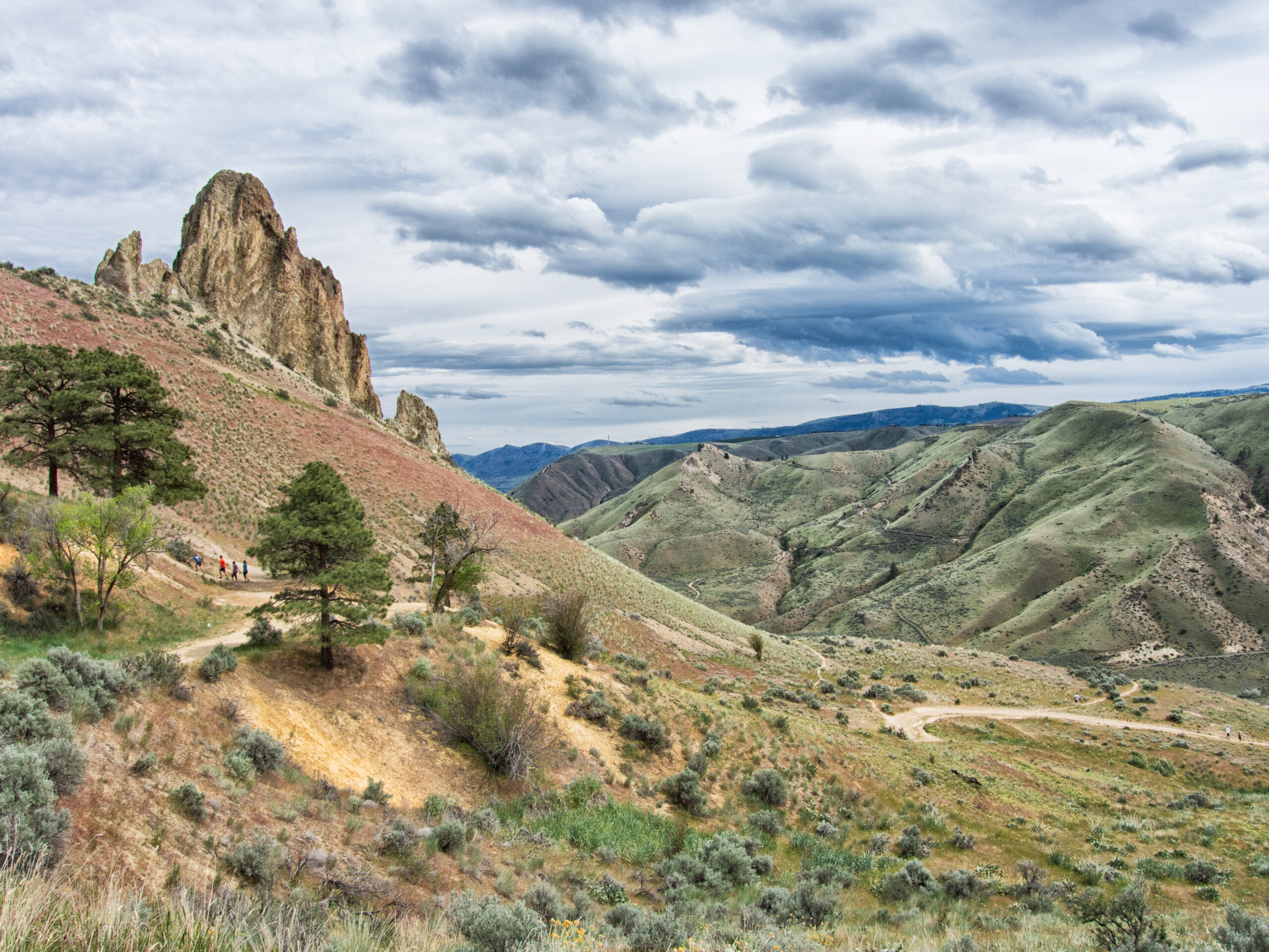
Bluff erosion
Groundwater, weathering and undercutting retreat steep river and lakeshore bluffs — a hazard for structures set near the edge and a driver of bank failures.
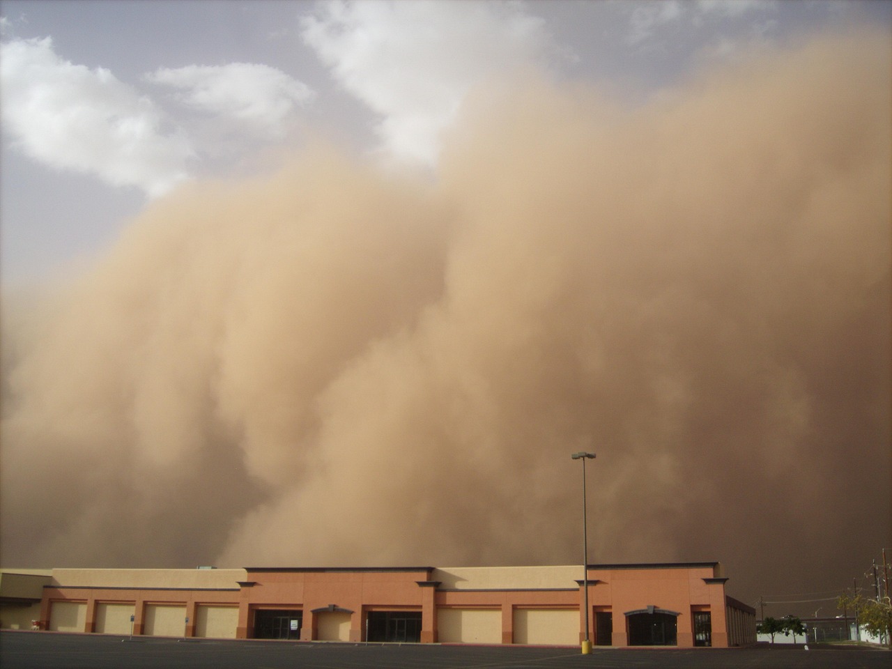
Wind erosion
On dry, bare ground — including the loess soils of eastern Washington — wind lifts and transports fine particles, degrading land and air quality.
What accelerates it
Drivers of erosion
Concentrated runoff
Roofs, roads and compacted ground funnel water into fast, focused flows that cut far more than gentle sheet flow.
Loss of vegetation
Roots and ground cover hold soil in place; clearing, grazing or fire removes that protection and exposes bare earth.
Erodible soils
Silts, loess and loose glacial outwash wash away easily — the makeup of the ground matters as much as the water.
Steep slopes
Gravity speeds runoff and multiplies its cutting power; the steeper the ground, the faster it erodes.
Waves & currents
Along shorelines and rivers, wave attack and current undercut the toe of banks and bluffs, driving retreat.
Wildfire
Burned ground repels water and loses its cover, sharply raising surface erosion and debris-flow risk for years.
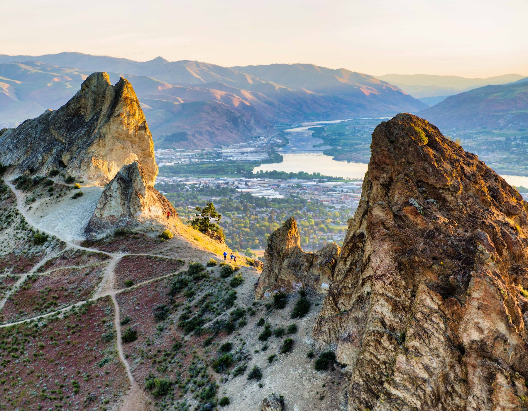 Central & eastern Washington terrain
Local ground
Erosion in eastern Washington.
The dry side of the state has an erosion story all its own — different soils, different water, different risks.
- Deep, wind-deposited loess soils that erode readily once exposed
- Cloudburst and snowmelt runoff cutting rills and gullies across arid slopes
- Streambank erosion and channel migration along the major rivers
- Post-wildfire erosion and debris flows on burned watersheds
- Wind erosion of farmland and disturbed ground
How we help
From risk to a workable plan
An erosion hazard assessment tells you where the ground is vulnerable and what it takes to keep it stable.
Screen & map
We check your parcel against soils, slope and hazard mapping to flag erosion-prone ground.
Field & soils
A site visit documents active erosion, drainage paths and the soils and geology involved.
Analysis
We evaluate how much erosion to expect and what it threatens on and around your site.
Controls & report
Recommendations — vegetation, drainage, armoring, setbacks — in a report your reviewer can approve.
Protect your ground
Seeing erosion on your property?
Whether it’s a rilling slope, a retreating bank or a permit that calls for an erosion evaluation, we can assess it and recommend a fix that lasts. We rate erosion potential from NRCS soil-survey data and measured slope gradients, then specify the drainage, setbacks and revegetation that keep soil in place and your foundation protected.