Landslides
Geologic Hazards · Landslides
Landslides
Washington is one of the most landslide-prone states in the country. Understanding how slopes fail — and how fast — is the first step in keeping people and property out of harm’s way.
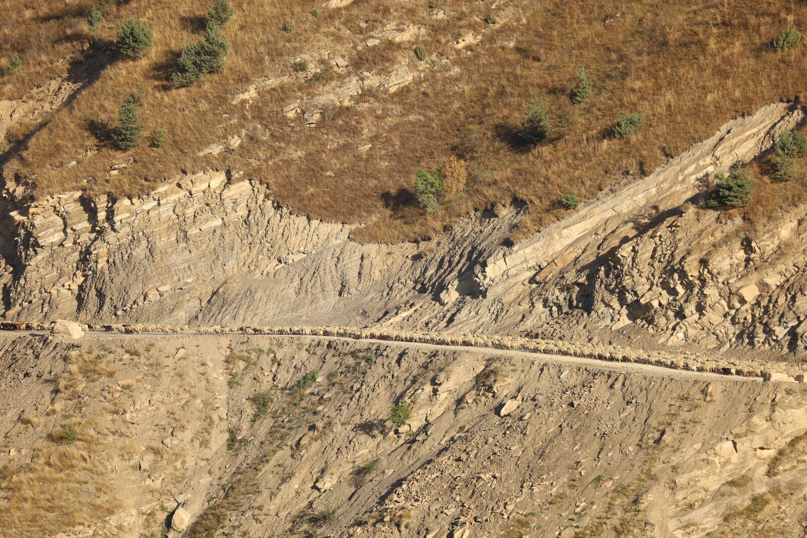 Dipping strata above a mountain road
Why it matters here
Landslides are one of Washington’s costliest natural hazards.
The Washington Geological Survey ranks the state among the most landslide-prone in the nation, with tens to hundreds of millions of dollars in damage in a typical year.
Steep terrain, weak glacial sediments, deep winter rains and active seismicity combine to make slope failure a constant concern — for homes, roads, utilities and water supplies alike. The 2014 State Route 530 (Oso) landslide, the deadliest in state history, is a stark reminder of how quickly a slope can fail.
The classification
The main types of landslide
Geologists classify landslides by the material that moves (rock, debris or earth) and how it moves — falling, toppling, sliding, spreading or flowing. Here are the movement types you’ll encounter most.
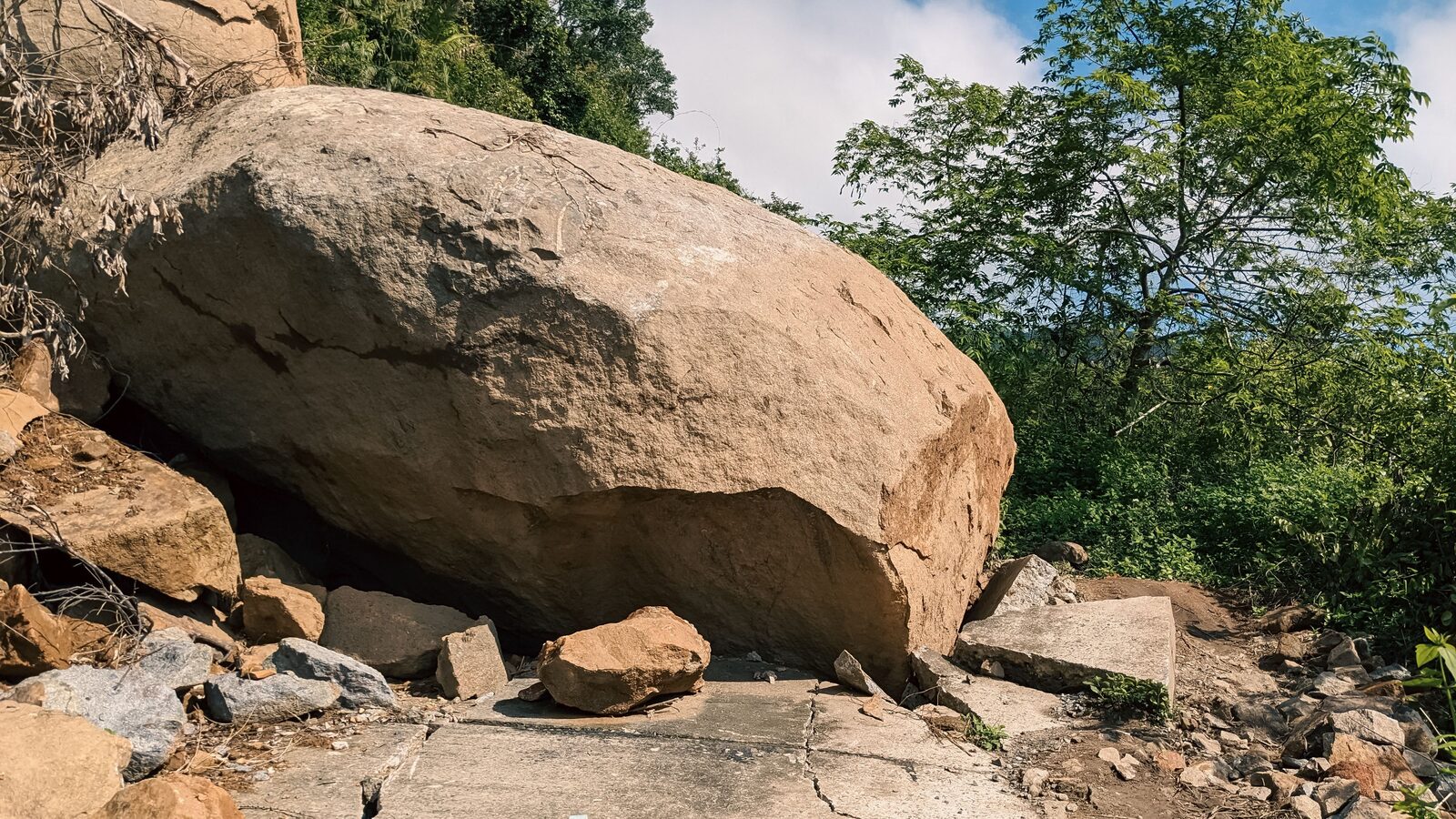
Rockfall
Rock or boulders detach from a cliff or steep cut and descend by free-fall, bouncing and rolling — sudden and fast-moving.
Translational & block slides
A mass slides along a roughly planar surface — often a bedding plane or soil–rock contact — moving downslope with little rotation.
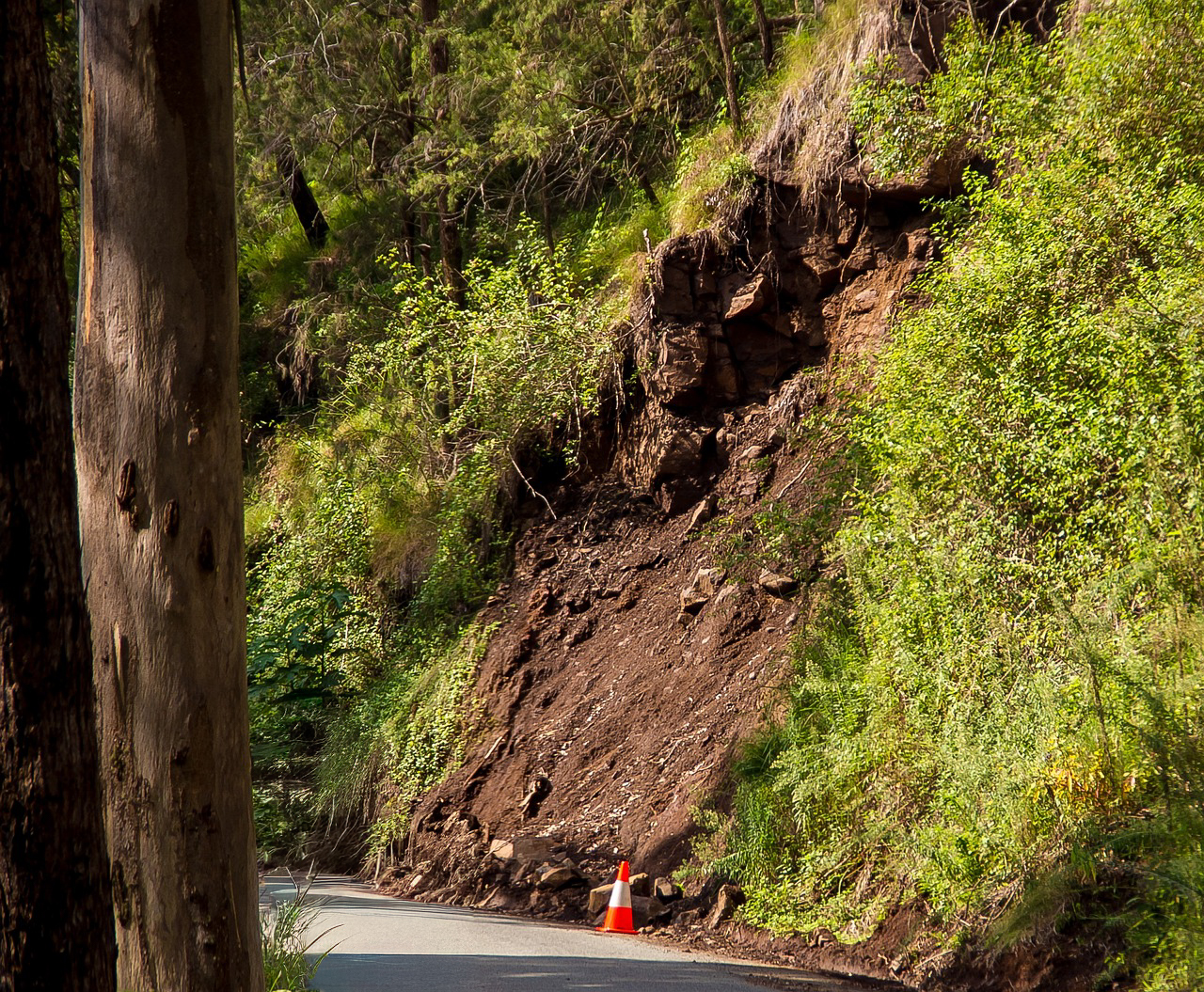
Rotational slide (slump)
Movement occurs on a curved, spoon-shaped surface, leaving a crescent scarp at the head and back-tilted blocks below.
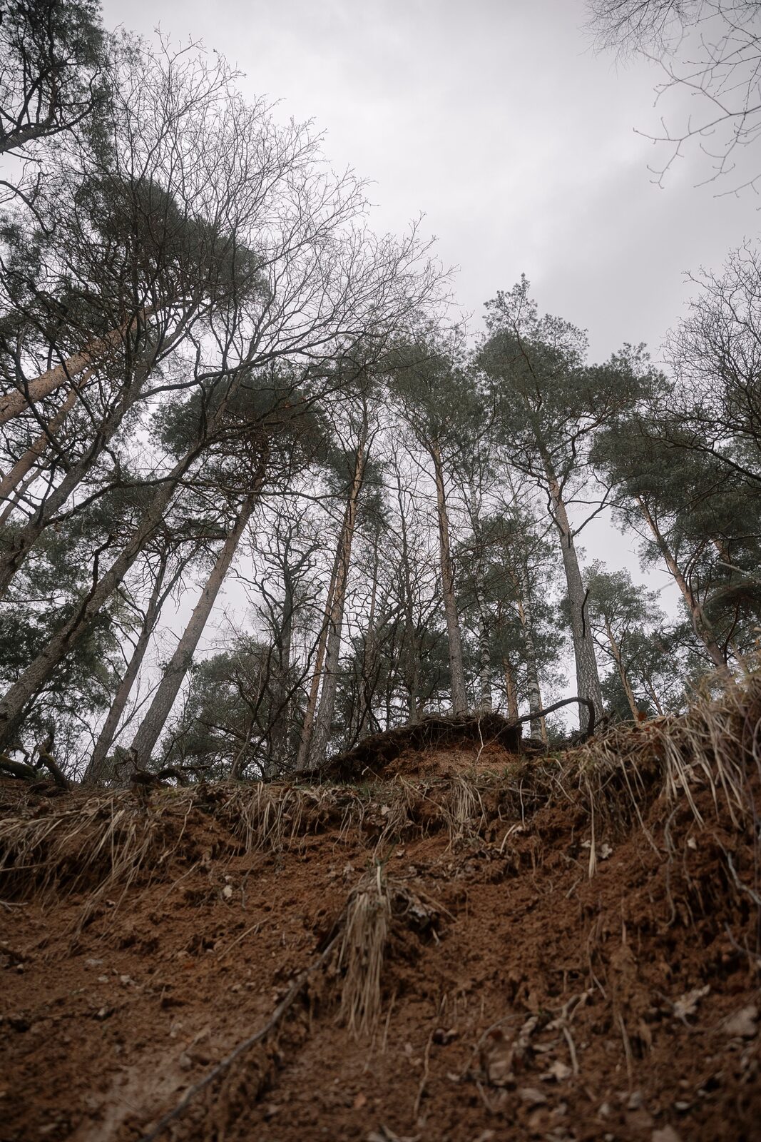
Creep
Imperceptibly slow, steady downslope movement of soil. Its calling cards are tilted trees, bowed walls and leaning fences.
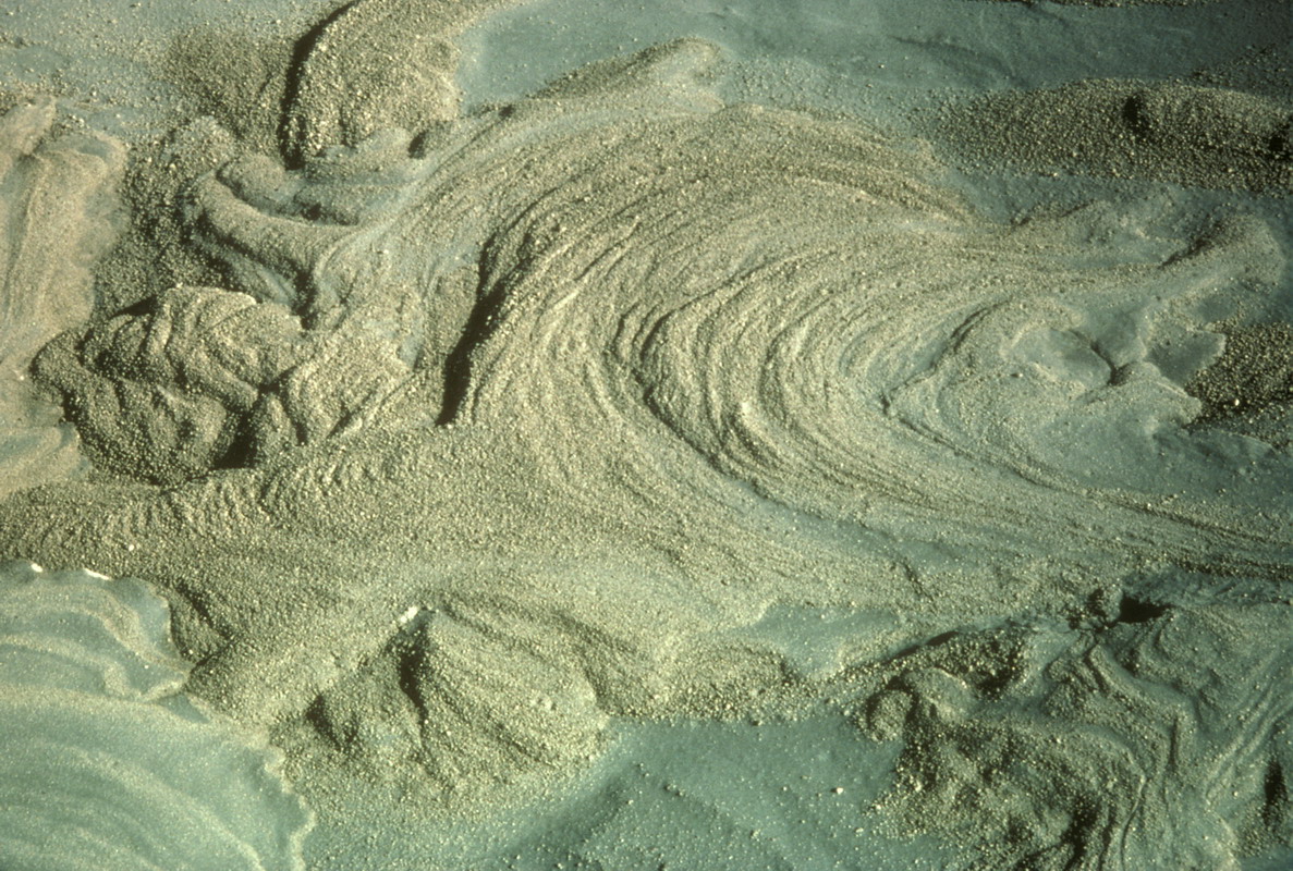
Debris flow
A fast slurry of soil, rock, water and organic debris that races down channels and gullies — the leading cause of landslide fatalities.
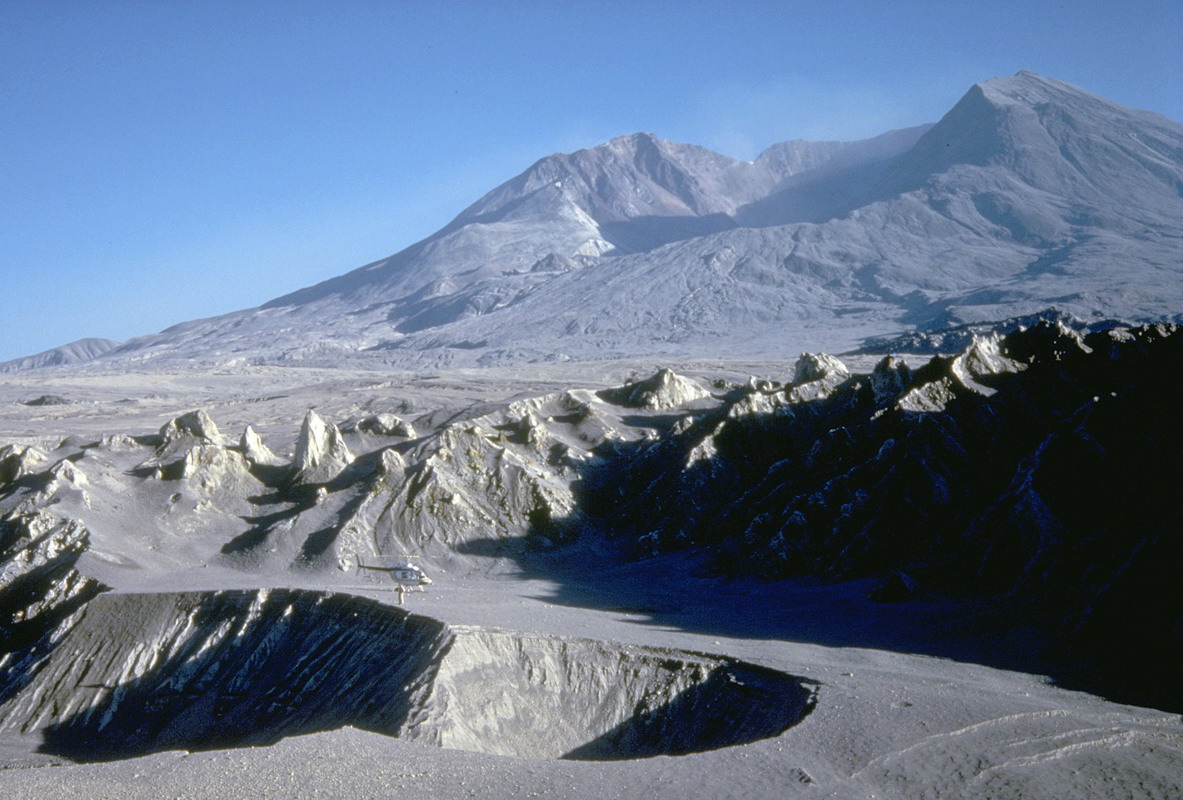
Debris avalanche
An extremely rapid form of debris flow that can travel long distances at highway speeds, often with little warning.
Earthflow
Fine-grained, clay-rich material liquefies and moves downslope in an hourglass shape, from slow to moderately fast.
Topples
A block rotates forward about a pivot near its base — common in fractured, steeply jointed rock faces.
Lateral spread
On gentle ground, a firm layer breaks up and extends sideways over a weaker, often liquefied layer — frequently earthquake-driven.
A shallow failure, roots undercut at the scarpA key distinction
Deep-seated vs. shallow.
How deep the failure surface sits changes everything about how a landslide behaves — and how it’s managed.
Shallow landslides fail within the upper few meters of soil and weathered rock. They’re typically triggered by intense rain, move quickly, and often mobilize into debris flows. Individually small, they’re extremely common on steep slopes.
Deep-seated landslides have failure surfaces tens of meters down, in weak bedrock or thick glacial deposits. They can creep for decades or fail catastrophically — the Oso slide was a deep-seated failure. They’re larger, harder to stabilize, and demand subsurface investigation.
How fast they move
From creep to catastrophic
Landslide speed spans an enormous range — from millimeters a year to tens of meters a second. Speed drives the danger.
Creep
Millimeters to centimeters per year. Invisible day to day; revealed by tilted trees and cracked foundations.
Slow flows & slumps
Centimeters to meters per day. Earthflows and slumps that damage structures gradually over seasons.
Rapid failures
Meters per minute to per second. Debris flows and rock slides that arrive with little warning.
Instantaneous
Free-fall speeds. Rockfalls and debris avalanches — no time to react once they release.
What sets them off
Common triggers
Intense & prolonged rain
The leading trigger in Washington — water raises pore pressure and cuts the strength that holds a slope together.
Rapid snowmelt
Spring melt and rain-on-snow deliver large volumes of water to already-saturated ground.
Earthquakes
Shaking can trigger rockfalls, slides and liquefaction-driven lateral spreads across wide areas.
Undercutting
Rivers, waves and excavation remove support from the toe of a slope, unloading it into failure.
Added water & load
Grading, fill, leaking utilities, septic drainfields and irrigation can all destabilize marginal ground.
Wildfire
Burned slopes shed water instead of absorbing it, sharply raising debris-flow risk for years afterward.
Assess your slope
Concerned about a slope on your property?
We evaluate landslide hazards for building permits and site development across eastern Washington — from a quick parcel screening to a full geologic hazard assessment. Using published USGS geologic mapping, county critical-areas layers and a site visit, we determine whether ground mapped as landslide deposits is actually unstable on your parcel, separate deep-seated from shallow failure, and — where the site proves stable — document that no separate geotechnical report is required.