Seismic Hazards
Geologic Hazards · Seismic
Seismic hazards
Washington sits in one of North America’s most active tectonic settings. When the ground shakes, how a site responds — amplifying motion, liquefying, or sliding — is as important as the earthquake itself.
 The North Cascades — source of the 1872 quake
Why it matters
Eastern Washington is not immune.
The Puget Lowland gets most of the attention, but the largest historical crustal earthquake in the state struck close to home.
In December 1872, an estimated magnitude 6.5–7.0 earthquake centered near Entiat and Lake Chelan shook north-central Washington hard enough to trigger landslides and change river channels. A great Cascadia earthquake would send long, strong shaking across the entire state. Building codes require every project to account for seismic loads — and how much shaking a site actually feels depends on its geology.
What actually causes damage
The seismic hazards we evaluate
Earthquakes rarely damage buildings directly through fault movement. Far more often it’s how the ground beneath a site behaves.
Ground shaking
The main hazard — the intensity and duration of motion a site experiences, set by the earthquake and the local geology.
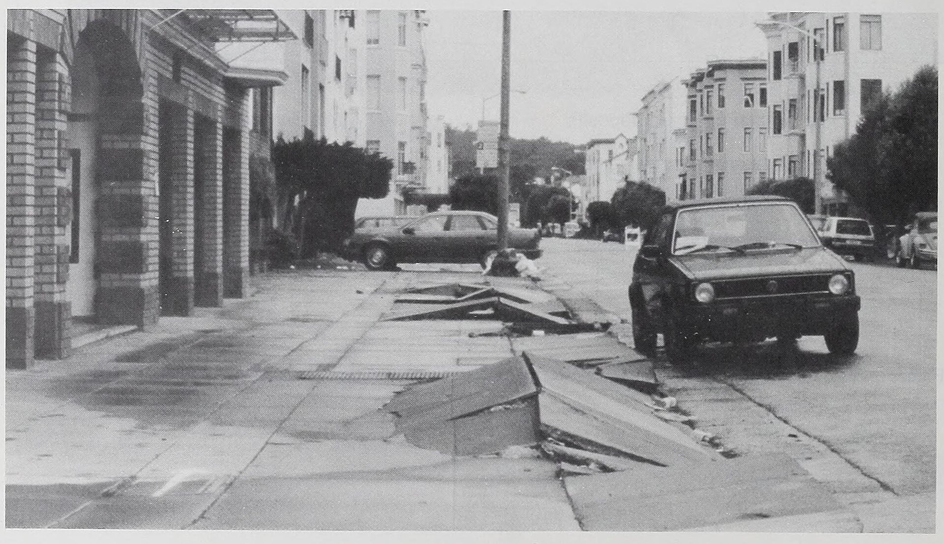
Liquefaction
Saturated, loose sandy soils and fills can temporarily behave like a liquid, sinking or tilting whatever sits on them.
Amplification
Soft or deep soils can amplify and lengthen shaking, so two nearby sites can feel very different motion.
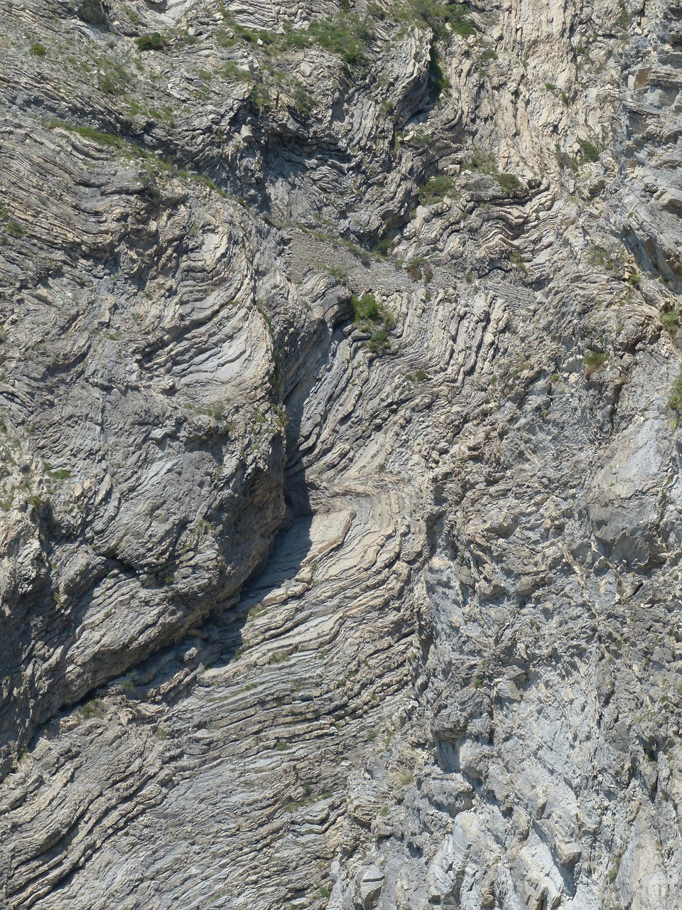
Fault rupture
Where a fault reaches the surface, the ground can offset by feet — a hazard for anything built directly across the trace.
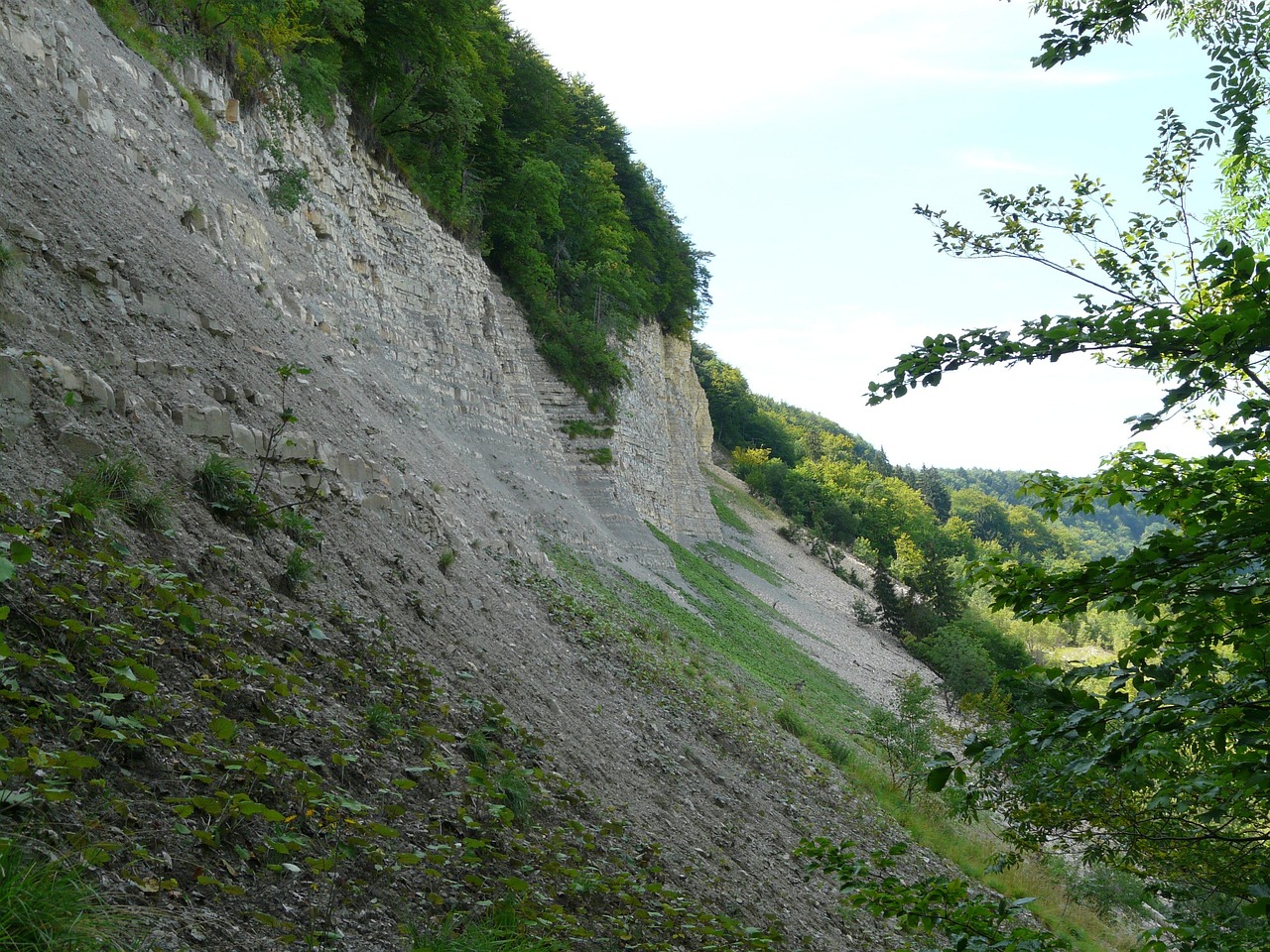
Earthquake-induced landslides
Shaking is a powerful landslide trigger; the 1872 quake set off rock slides across the region.
Tsunami & seiche
Along the coast and on large lakes and reservoirs, quakes can generate dangerous waves and water oscillations.
Where the shaking comes from
Washington’s earthquake sources
Three very different kinds of earthquake put the state at risk — each with its own shaking, reach and recurrence.
Cascadia subduction zone
The offshore megathrust capable of minutes-long shaking statewide. It last ruptured in January 1700.
Deep intraslab quakes
Earthquakes deep within the subducting plate — like the 2001 Nisqually (M6.8) event that damaged the Puget Sound region.
Shallow crustal faults
Faults in the upper crust, from the Seattle Fault to the source of the 1872 North Cascades earthquake near Entiat.
How we help
What a seismic evaluation provides
We give your project team the site-specific ground information the building code and your structural engineer need.
Site class & mapping
We characterize the soil and rock profile to establish the code site class and screen mapped hazards.
Liquefaction & faults
We evaluate liquefaction and lateral-spread potential and check proximity to mapped faults.
Ground motion
We develop the seismic design parameters your engineer needs for the structure.
Report for design
Clear findings and recommendations, coordinated with your structural and civil team.
Build on solid ground
Need seismic input for a project?
From a single-family home on a slope to a commercial site over old fill, we assess the seismic ground hazards and deliver the parameters your design depends on. We check mapped faults for evidence of recent activity, judge liquefaction and lateral-spread potential from site soils and groundwater, and characterize how the ground is likely to amplify shaking.