Floodplains
Geologic Hazards · Floodplains
Floodplains
Building near water means reckoning with more than the river’s everyday edge. Floodplains inundate, alluvial fans bury, and debris flows arrive fast — and the risk reaches well beyond the blue line on a map.
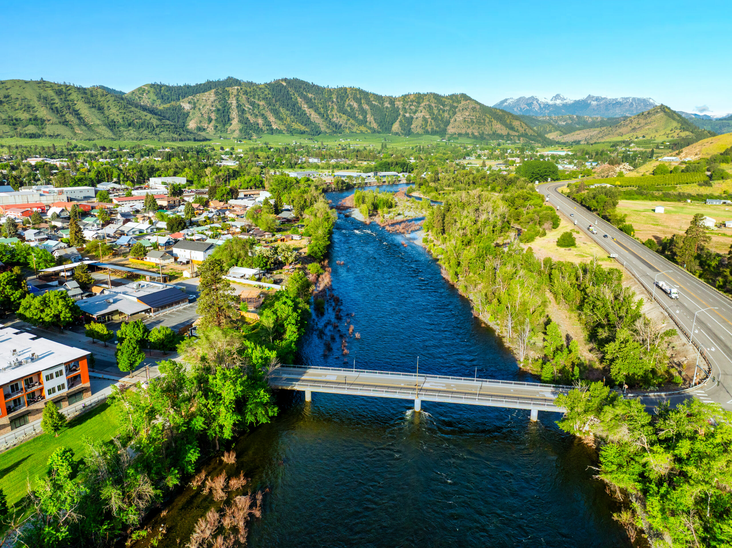 Development crowds the valley floor
Why it matters
Water doesn’t stay in the channel.
A floodplain is simply the ground a river uses when it’s high — and rivers reclaim it more often than people expect.
Beyond straightforward inundation, the ground near water carries geologic flood hazards: alluvial fans that bury sites in sediment, debris flows that surge out of steep drainages, and channels that migrate and undercut banks over time. These are mapped and regulated — through FEMA floodplains and local critical-areas rules — and they call for a geologic look, not just a survey elevation.
Where the risk lives
Flood-hazard settings we evaluate
Not all flood risk looks the same. Each setting behaves differently — and needs a different response.
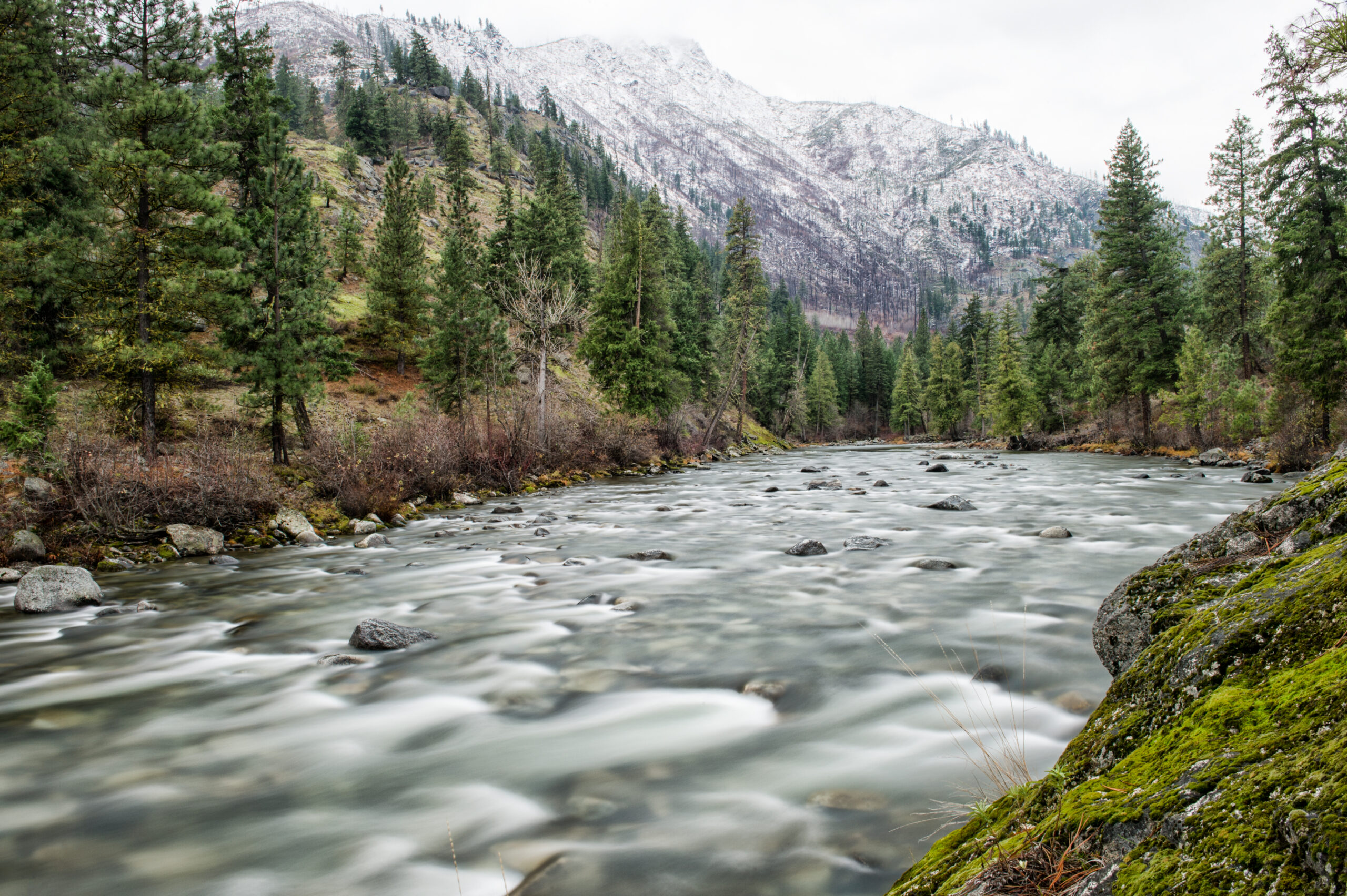
Riverine floodplain
The low ground a river floods when flows are high — the classic floodplain, where depth and velocity drive the hazard.
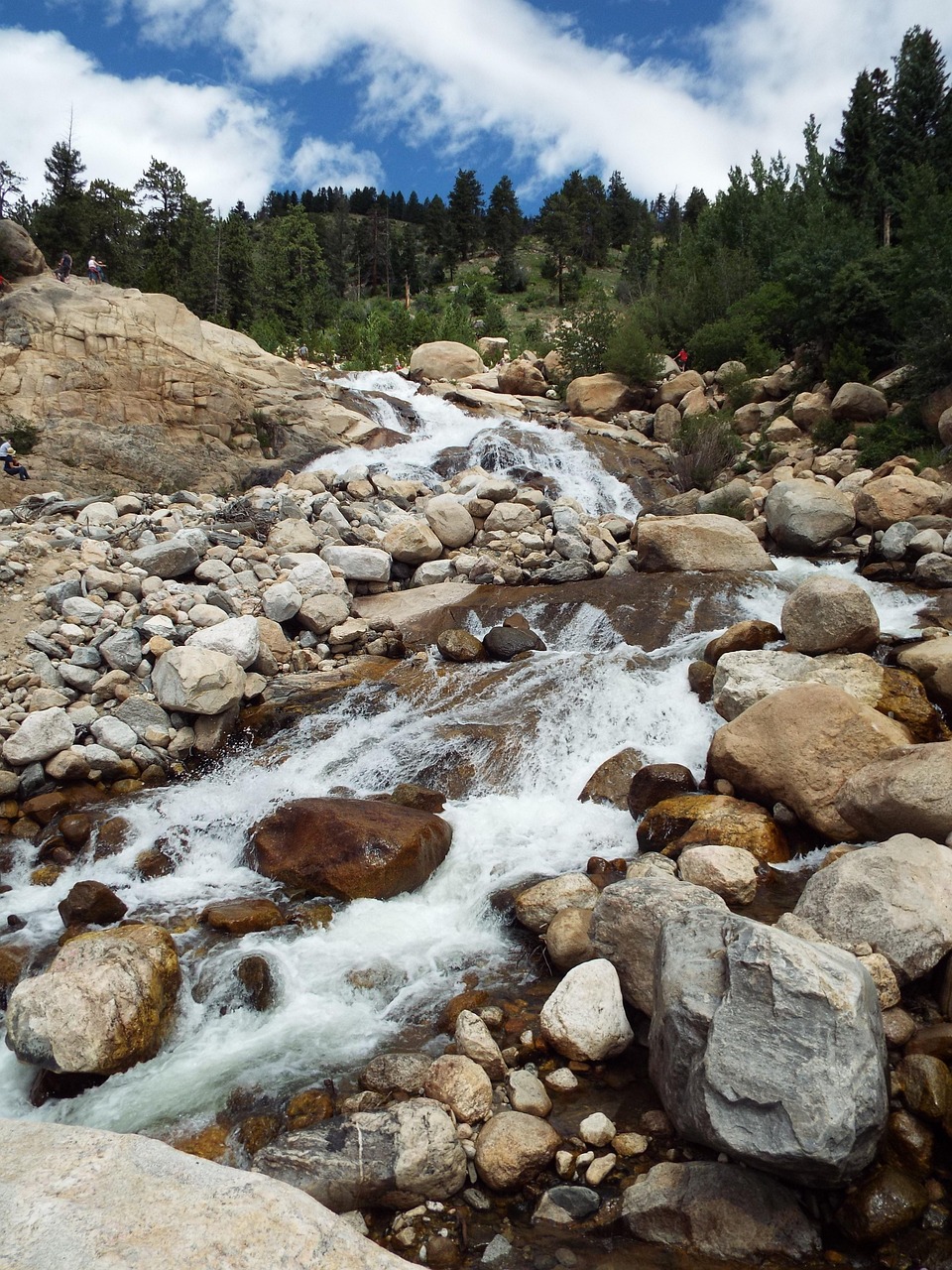
Alluvial fan
Where a steep drainage meets a valley, flood flows spread and drop sediment unpredictably — burying and shifting across the fan.
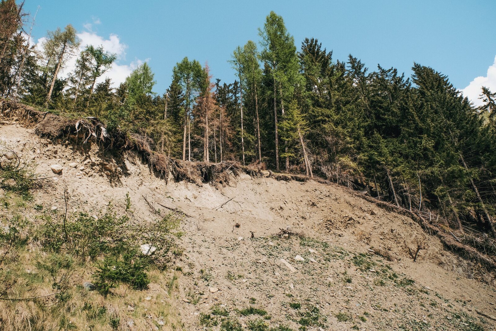
Debris flow
A surging slurry of water, mud and rock out of a steep canyon — far more destructive than clear-water flooding.
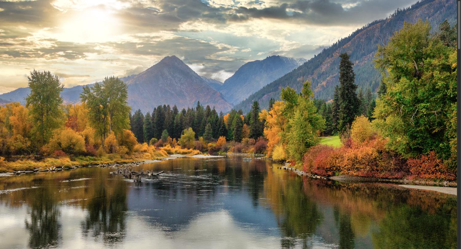
Channel migration
Rivers move sideways over time, eroding one bank and building another — a hazard for anything set too close to the water.
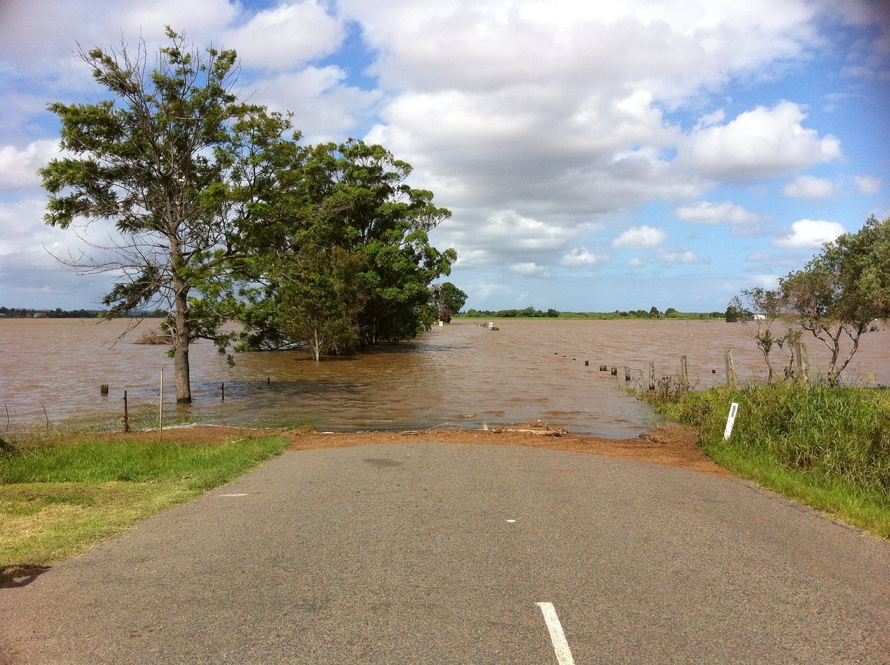
Flash flooding
On dry, steep watersheds a cloudburst becomes a wall of water in minutes, with little of the warning a big river gives.
Post-fire runoff
Burned watersheds shed water and debris, sending flooding and debris flows into drainages that were quiet for years.
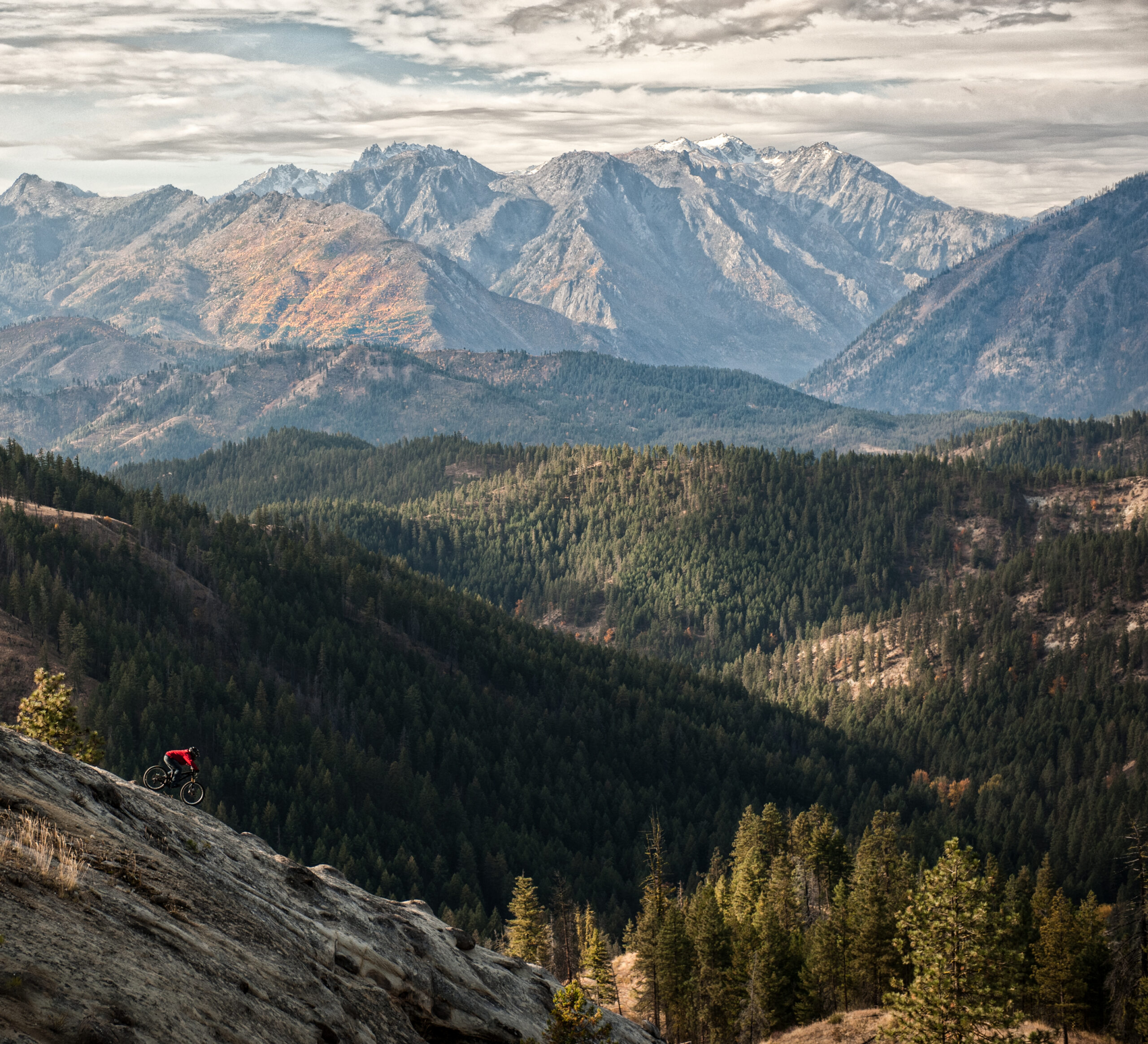 Canyon mouths and valley floors, eastern WA
Local ground
Flood hazards in eastern Washington.
The dry side floods differently — fast, sediment-heavy, and often on ground that looks safe most of the year.
- Alluvial fans at the mouths of tributary canyons, prime building ground that also floods and buries
- Flash floods and debris flows on steep, arid watersheds after cloudbursts
- Rain-on-snow and snowmelt swelling the Wenatchee, Yakima, Columbia and their tributaries
- Post-wildfire flooding and debris flows for years after a burn
- Ice jams and channel change along valley-floor reaches
How we help
From flood risk to a buildable plan
We characterize the geologic flood hazards on your site and give your team what they need to design and permit around them.
Floodplain & fan mapping
We check your parcel against FEMA floodplains, fan and channel-migration mapping and local hazard layers.
Site & channel review
A field look at the drainage, banks, fan surface and evidence of past flooding and deposition.
Inundation & deposition
We assess how water and sediment are likely to move across the site and what they threaten.
Report & permit support
Findings, setbacks and mitigation — coordinated with your surveyor and civil engineer for permitting.
Build above the flood
Building near water?
Whether it’s a home on a fan, a lot along a river, or a permit that flags the floodplain, we assess the geologic flood hazards and help you site the project safely. We weigh your site’s elevation and setback from the channel, map alluvial-fan and sidestream-alluvium deposits, and separate true geologic flood hazard from mapped floodplain — coordinating with your surveyor and civil engineer on base flood elevation.